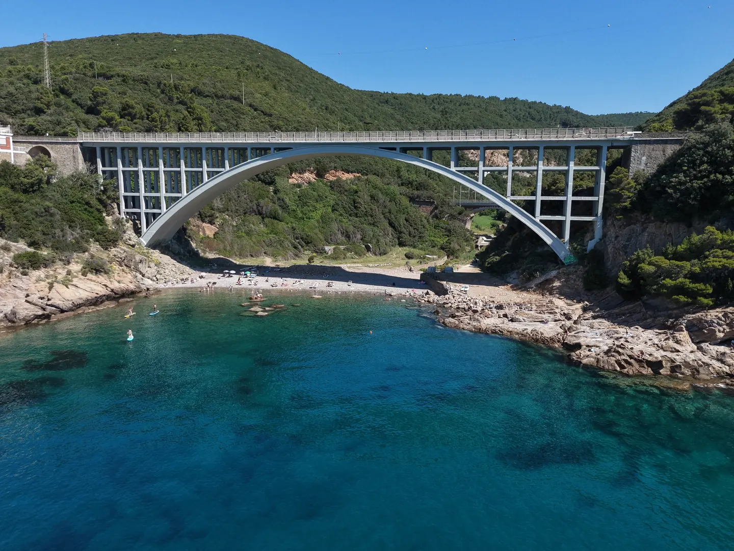
Calafuria
The arch over the sea
Drone photos and video for weddings, real estate, hotels and businesses — on the Tuscan coast ✨
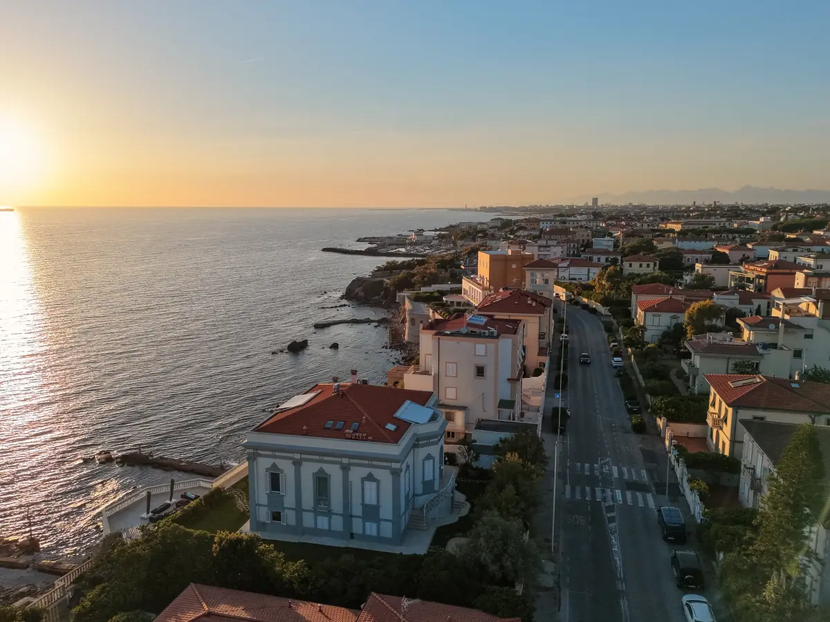
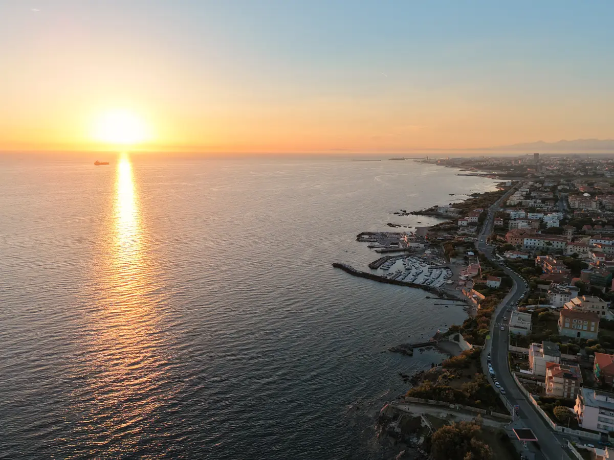
At 120 metres the coast is a line. The big picture.
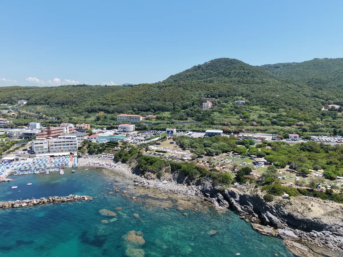
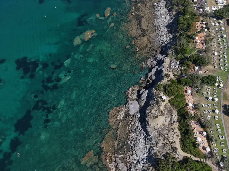
At 60 metres the cliffs take shape. And the blue opens up.
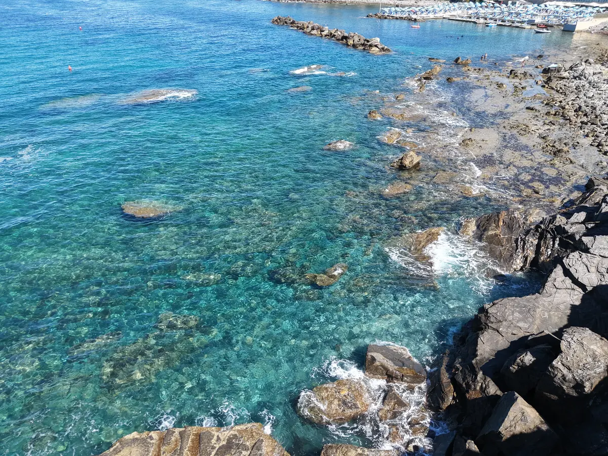
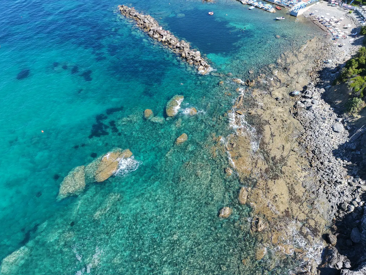
At 20 metres you can see the seabed. Every wave has its shadow.
Zero. The water's surface. This is where the sky ends and the sea begins.
Gallery
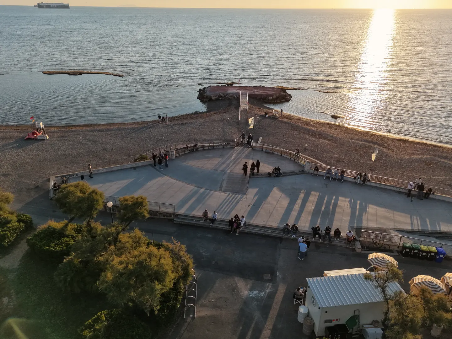
Drag to explore the coast, from Livorno to Quercianella 🌊 Every shot is a real flight.
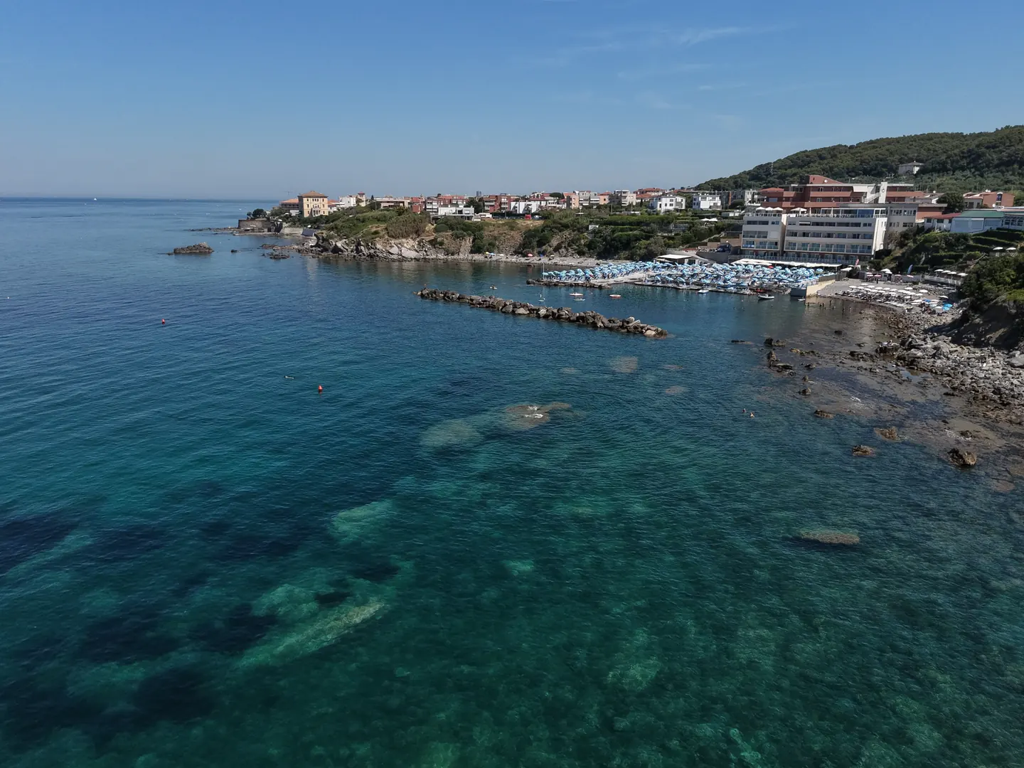
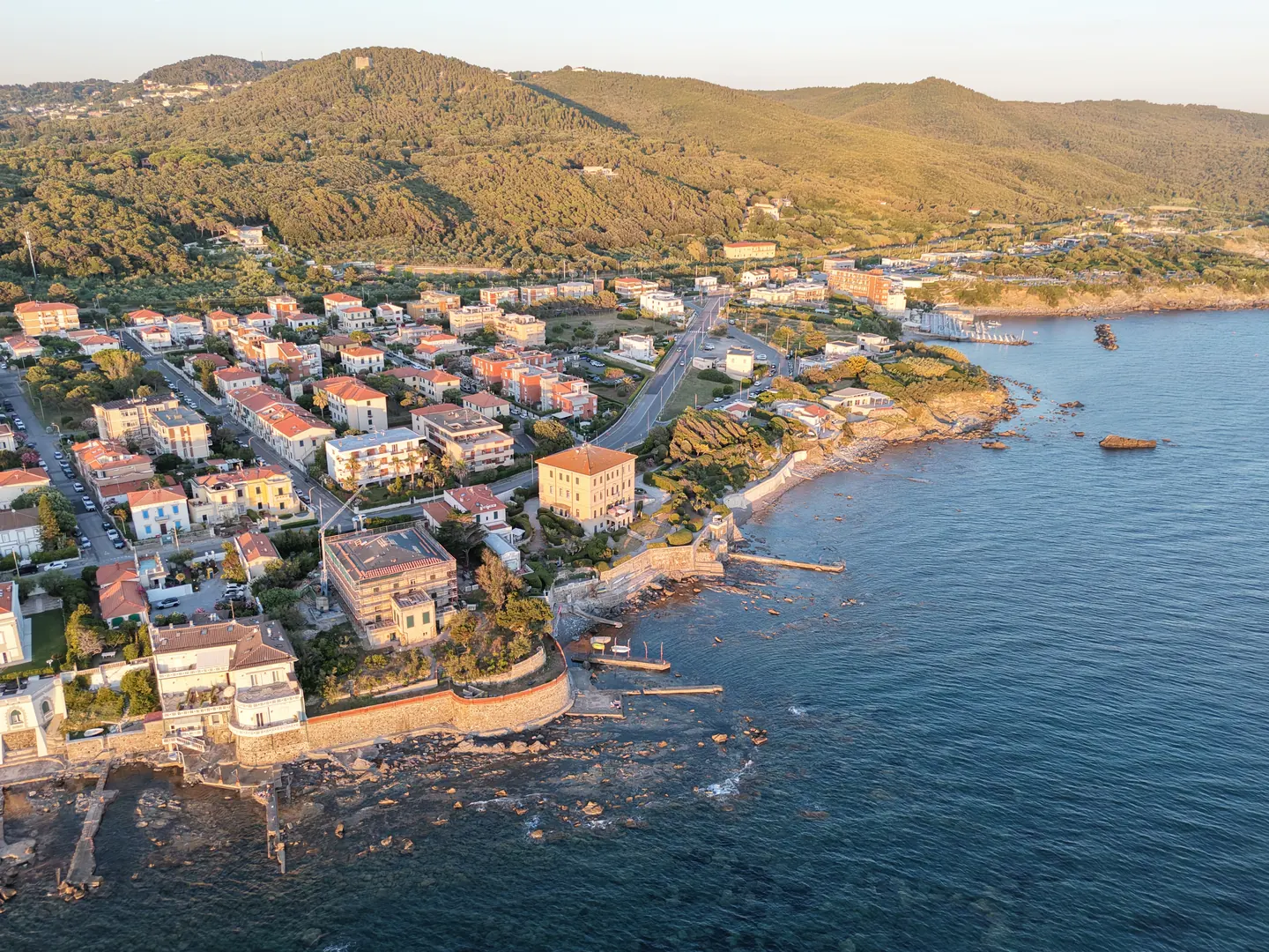
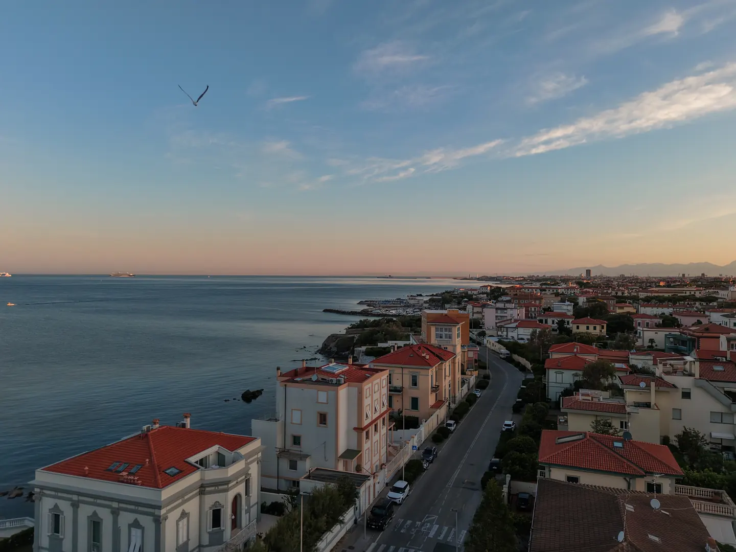
← Drag or scroll sideways →
Services
Every flight is tailor-made: tell me what you want to create and I'll take care of it 🚁
The couple's arrival, the venue seen from the sky, the sunset over the sea behind the reception. Clips ready for your videomaker or for social media.
Get a quote on WhatsApp 💬 ›Aerial video and photos of apartments, villas and farmhouses for real estate agencies: context, exteriors, gardens and views. Listings with drone footage sell faster.
Get a quote on WhatsApp 💬 ›The property, the beach, the view guests dream about before booking. Images for your website, booking platforms and campaigns.
Get a quote on WhatsApp 💬 ›Restaurants, beach clubs, worksites, sports and experiences: aerial content that stops the scroll and gets people talking about your business.
Get a quote on WhatsApp 💬 ›In numbers
Video
The featured flight: the cliffs and the deep blue, seen from above 🎥
Fragments
Little tastes of flight ✈️ Hover over a fragment — or tap it — and it comes to life.
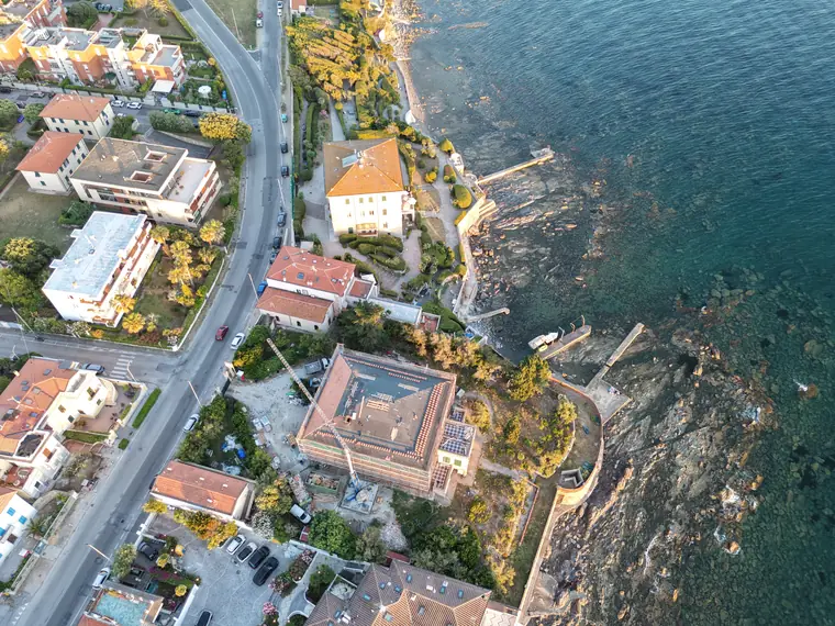
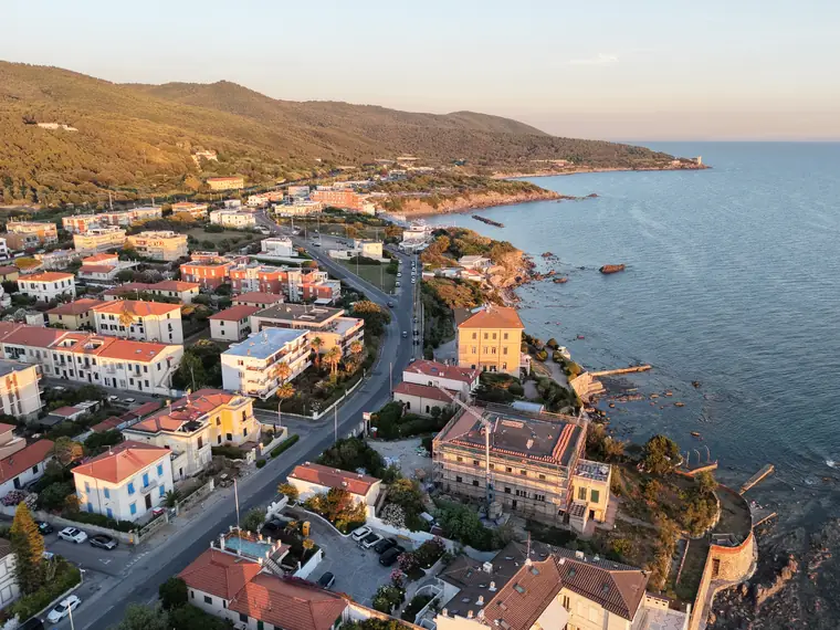
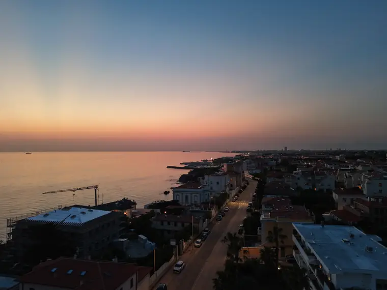
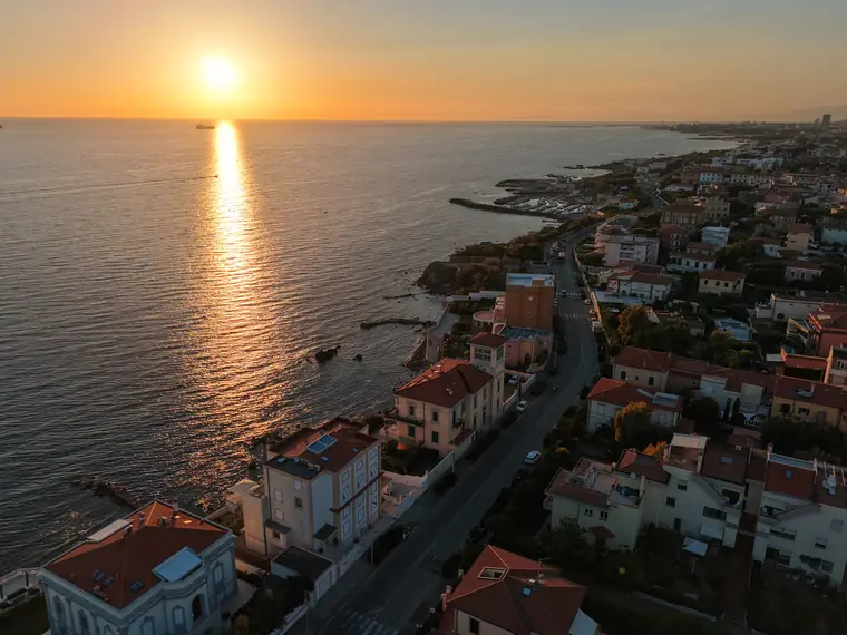
A day of light
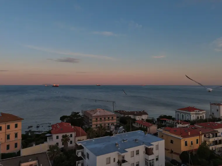
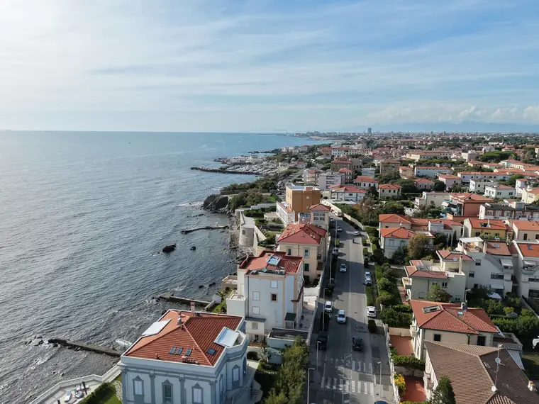
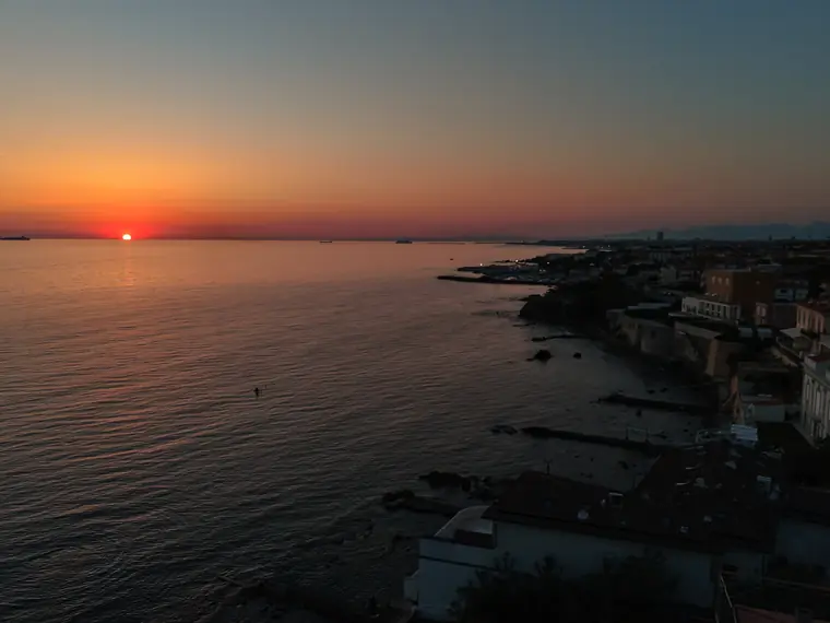
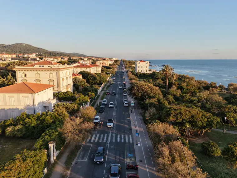
The same coast, twelve hours later 🌅 The filmstrip rolls on its own: stop it with your finger, tap a shot to enlarge it.
Vertical format
Footage designed in 9:16, ready for reels and stories 📱 Tap a phone to start the flight.
Beyond the coast
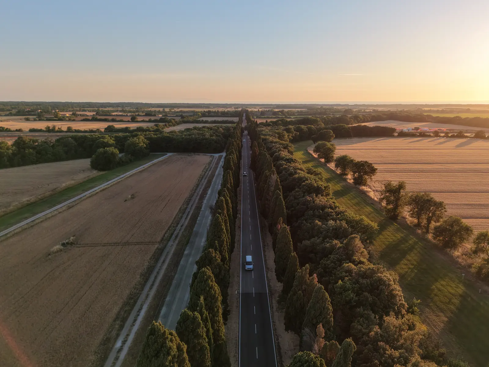
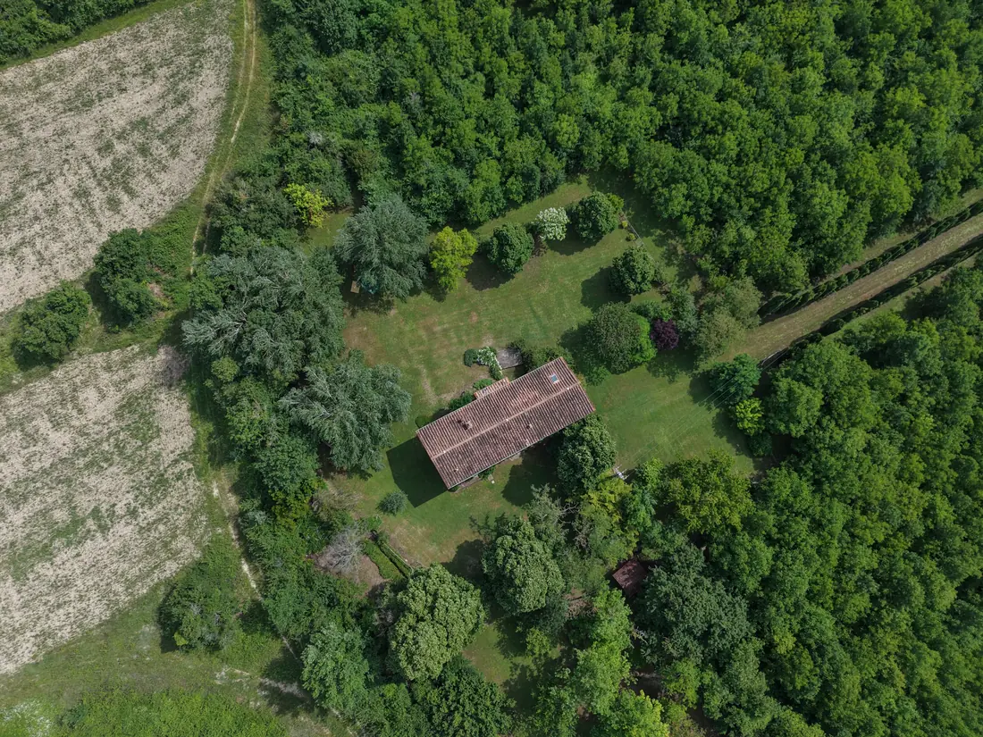
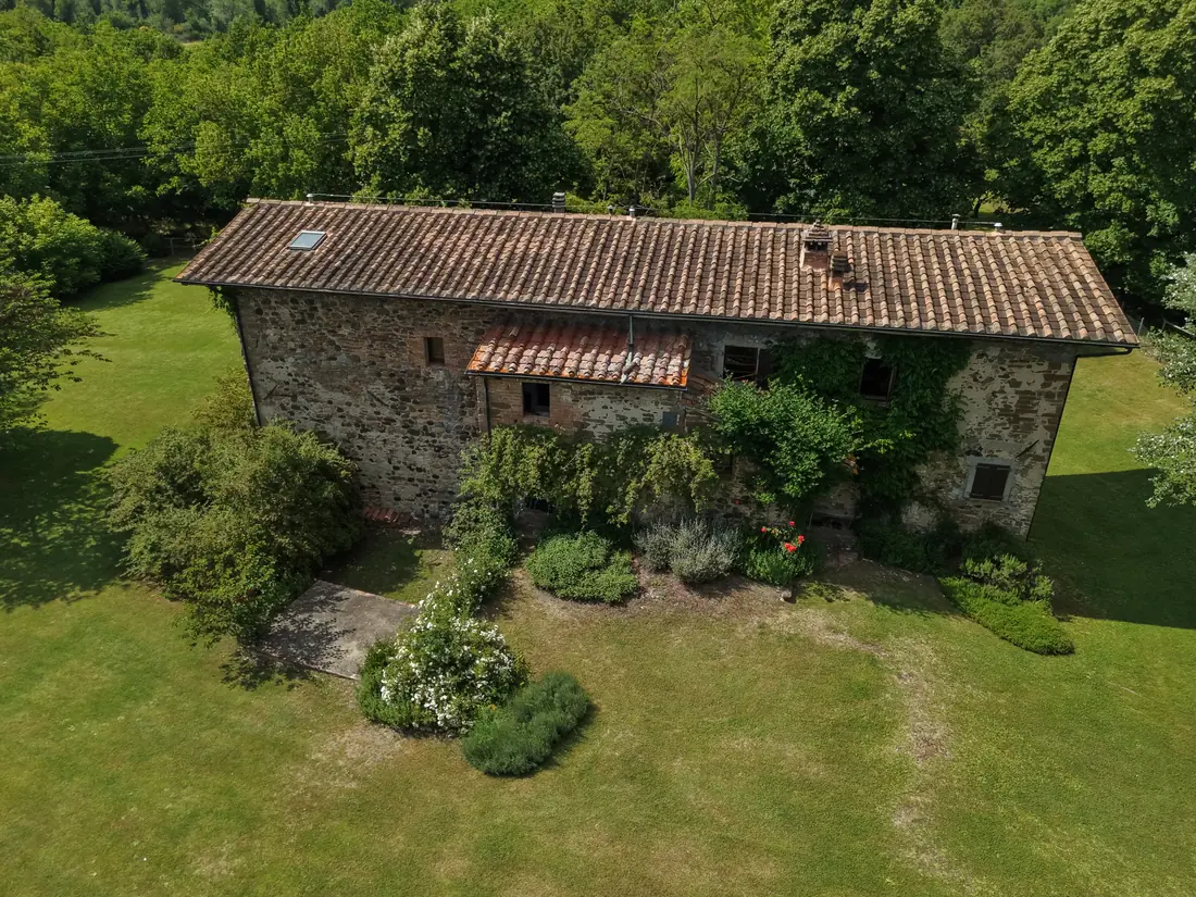
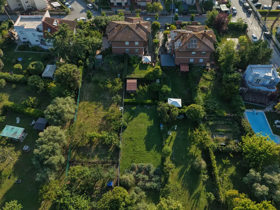
Farmhouses, villas and the Tuscan countryside 🌾 The same eye, for real estate and hospitality.
The flight
Behind every image there's planning, weather, rules and a registered pilot 🧭
Three-axis stabilised sensor, built for the sea breeze.
Thirty kilometres of Tuscan coast within take-off range.
Registered d-flight operator, ENAC/EASA rules, always within line of sight.
We fly when the light is right: sunrise and sunset, never at random.
Wind, waves and haze checked before every mission.
Files ready for social media, web or print. No hassle.
FAQ
Answers to the questions I get most often 💬
Yes. Aerial footage for weddings and events in Livorno and along the Tuscan coast: the couple's arrival, the venue seen from above, group moments and the sunset over the sea. Clips are delivered ready for your videomaker or for social media.
Yes. Aerial photos and videos of apartments, villas, farmhouses and properties for real estate listings: exteriors, gardens, context and the view from above. Files delivered ready for property portals, websites and social media.
The base is in Livorno. The area usually covered is the Tuscan coast, from Livorno to Quercianella and beyond, including the inland countryside with farmhouses and villas. For projects elsewhere in Tuscany, just get in touch.
Yes. Registered operator on the d-flight portal (ENAC, the Italian Civil Aviation Authority), flying in the Open Category under ENAC/EASA regulations, always within visual line of sight and up to 120 metres, with weather planning before every mission.
Message me on WhatsApp: +39 320 197 4902 💬 Mention the type of project (wedding, property, hotel, event or business), the location and an approximate date: Tommaso replies personally.
Contact
Weddings, properties, hotels, businesses 🎬 If it happens on the coast, it can be told from the sky.
I reply personally on WhatsApp ⚡ +39 320 197 4902